I had activated two mountains the previous two days in the Southern Sierras with Dan NA6MG: Bald Mountain SS-285 and Peak 9470 SS-277. Both were drive ups, though on the final rugged road up Peak 9470 I parked my Subaru Outback and went with Dan in his more capable Toyota Tacoma.
The first night we camped at Kennedy Meadows campground where there were a lot of mosquitos due to standing water from summer storms, luckily they went to bed by 8PM as it got cooler. I got up at 0400, the stars were very bright and beautiful in a dark sky. Orion was very prominent. An hour and a half before sunrise I observed the Zodiacal Light for the first time in my life. This phenomenon is due to sunlight scattering off of interplanetary dust.
The second night we stayed at Fish Creek campground 8 miles further up the road; there were no mosquitos there, but Dan left at 0100 because he got to cold, about 37F/3C. He went down to Red Rock Park on the desert floor where it was much warmer, then headed home around 0700 (so he told me later). I got up at 0415 (slept in the car) and left half an hour later; I intended to drive up Wyleys Knob for a SOTA activation.
Down from the hills, then south on the 14 highway, to the turn off right (west) at 35.483967, -117.956558. Shown as Horse Canyon Road on Google Maps. This is one entrance to the Jawbone OHV area, the road is posted as SC65. The route I took was: SC65 north west for about 4.5 miles, south on the California Aqueduct for about 1.5 miles, then west on SC106 for 4 miles. Here it becomes SC120 and proceed 5 miles to Bird Spring Pass and the intersection with the Pacific Crest Trail. Take the obvious road SC228 for 2 miles to the top. This has a small rocky area where I was happy to have my high clearance AWD Outback. The total is about 17 miles and takes about an hour. All the “SC” roads are well sign posted.
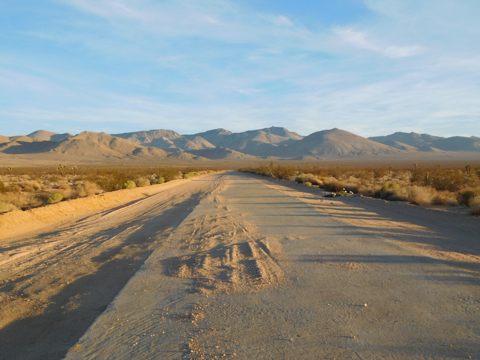
On SC65

Looking north on the California Aqueduct
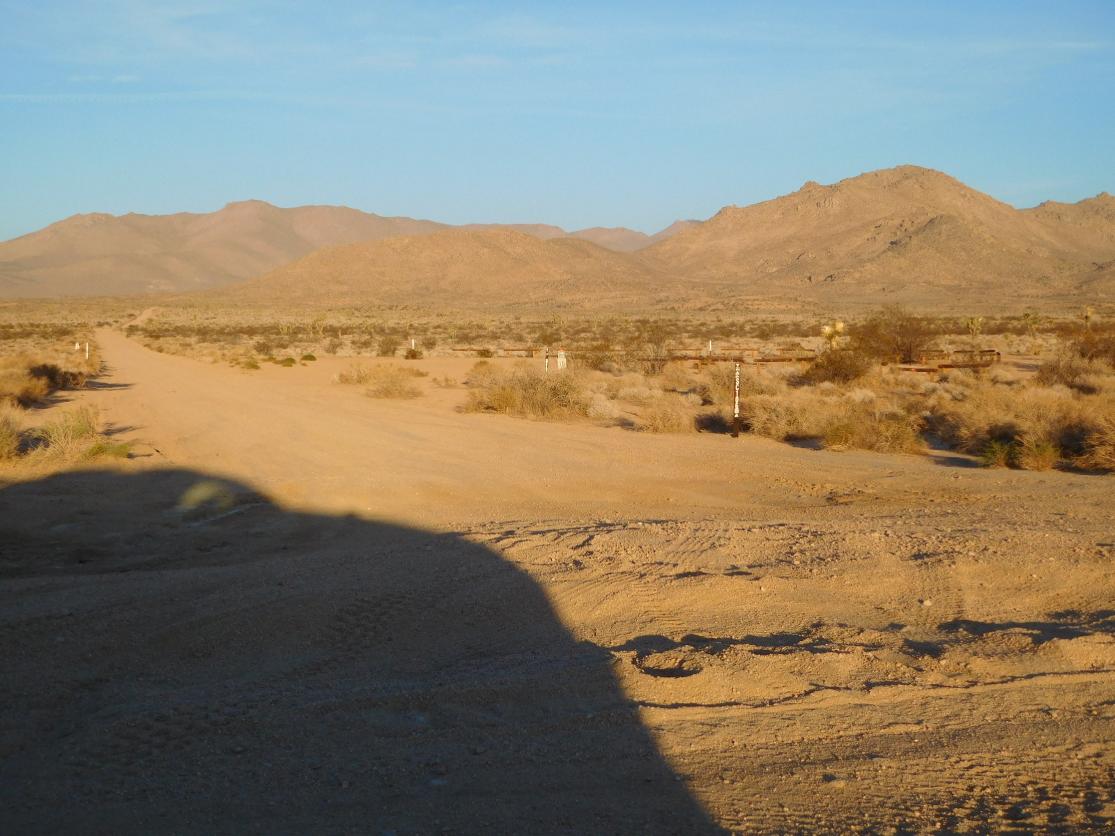
Looking west on SC106
Wyleys Knob is the one with pine trees and comm towers

SOTA set up. No connections to the car!

Comm towers

Thanks to the chasers!
Date:29/09/2022 | Summit:W6/SS-405 (Wyleys Knob) | Call Used:N6JZT | Points: 6 | Bonus: 0 |
| Time | Callsign | Band | Mode | Notes |
|---|---|---|---|---|
| 15:35 | W5ODS | 14MHz | CW | |
| 15:36 | N7CNH | 14MHz | CW | |
| 15:36 | WB7BWZ | 14MHz | CW | |
| 15:37 | WW7D | 14MHz | CW | |
| 15:39 | NU7A | 14MHz | CW | |
| 15:40 | NU4R | 14MHz | CW | |
| 15:42 | W0MNA | 14MHz | CW | |
| 15:42 | W0ERI | 14MHz | CW | |
| 15:44 | N0IPA | 14MHz | CW | |
| 15:45 | W6LOR | 14MHz | CW | |
| 15:46 | K6STR | 14MHz | CW | |
| 15:47 | AK5SD | 14MHz | CW | |
| 15:48 | W9MRH | 14MHz | CW | |
| 15:56 | K6PBQ | 7MHz | CW | |
| 15:58 | W7RV | 7MHz | CW | |
| 15:59 | KR7RK | 7MHz | CW | |
| 16:00 | WB6POT | 7MHz | CW | |
| 16:01 | WC6J | 7MHz | CW | s2s w7n/wc005 |
| 16:02 | WD7Y | 7MHz | CW | |
| 16:03 | AF7M | 7MHz | CW | |
| 16:04 | KX6A | 7MHz | CW | |
| 16:04 | K6KMH | 7MHz | CW | |
| 16:05 | NK6A | 7MHz | CW | |
| 16:05 | KR7Q | 7MHz | CW | |
| 16:06 | N6MKW | 7MHz | CW | |
| 16:08 | JG0AWE | 7MHz | CW | |
| 16:09 | NT6E | 7MHz | CW |
Heading down

Skinner Peak W6 SN-042 also accessed from Bird Spring Pass and the PCT


73! Hal N6JZT
Jawbone road and trail map, right click click open in new tab:
