Peak 3853 (i.e. elevation 3853 feet) is a somewhat obscure mountain located just south of Mt McDill, its higher neighbor at 5187 feet. It had been activated only four times: three times by Dan (NA6MG/WO6M) and once by Mike (N6MKW). I finally got around to activating it! I followed their information and parked by the power pylon on the Pacific Crest Trail just off Peterson Road. Started the hike as it was getting light, at 0650.
After 15 minutes or so on the PCT and then the power line road, took the firebreak/moto trail up the ridge on the left.
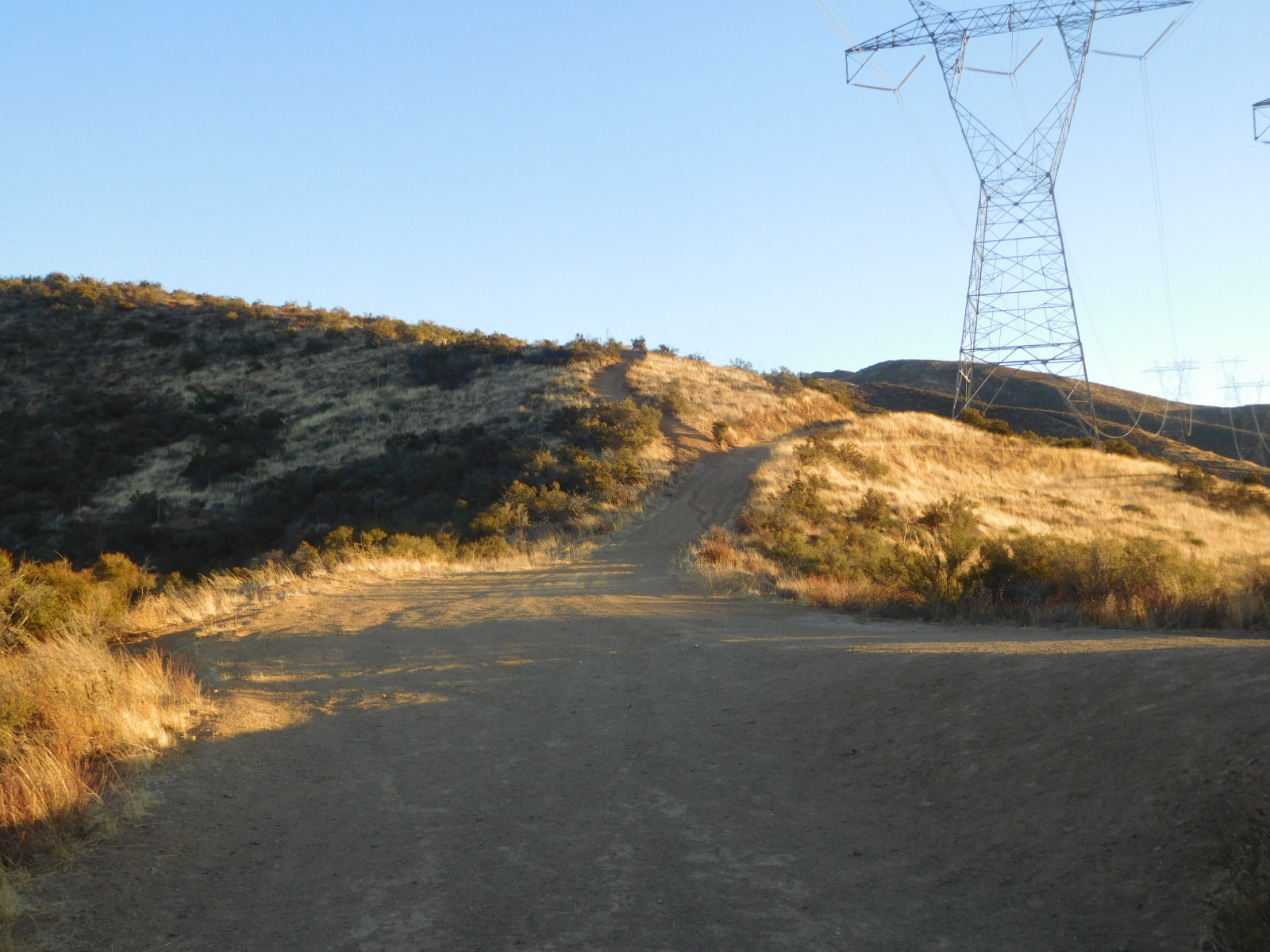
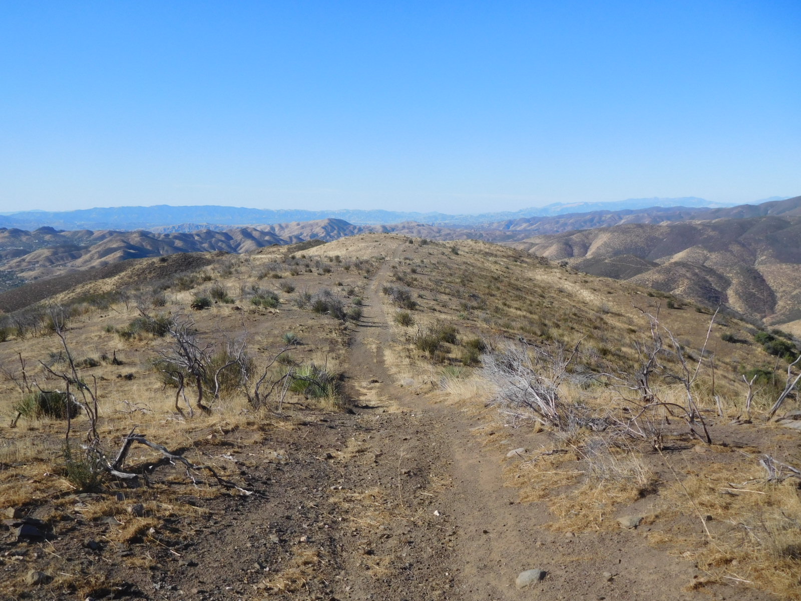
The moto trail is easy to follow. Ridge to Mt McDill in the background.
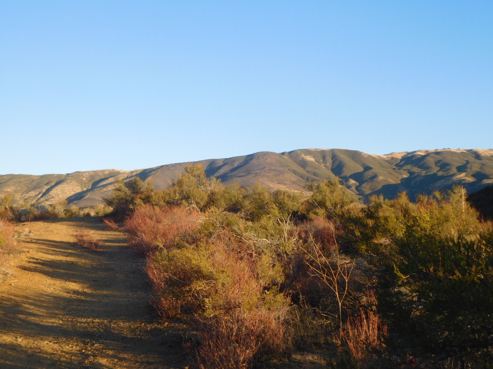
Just right of center are some peaklets. The summit is out of view beyond them.

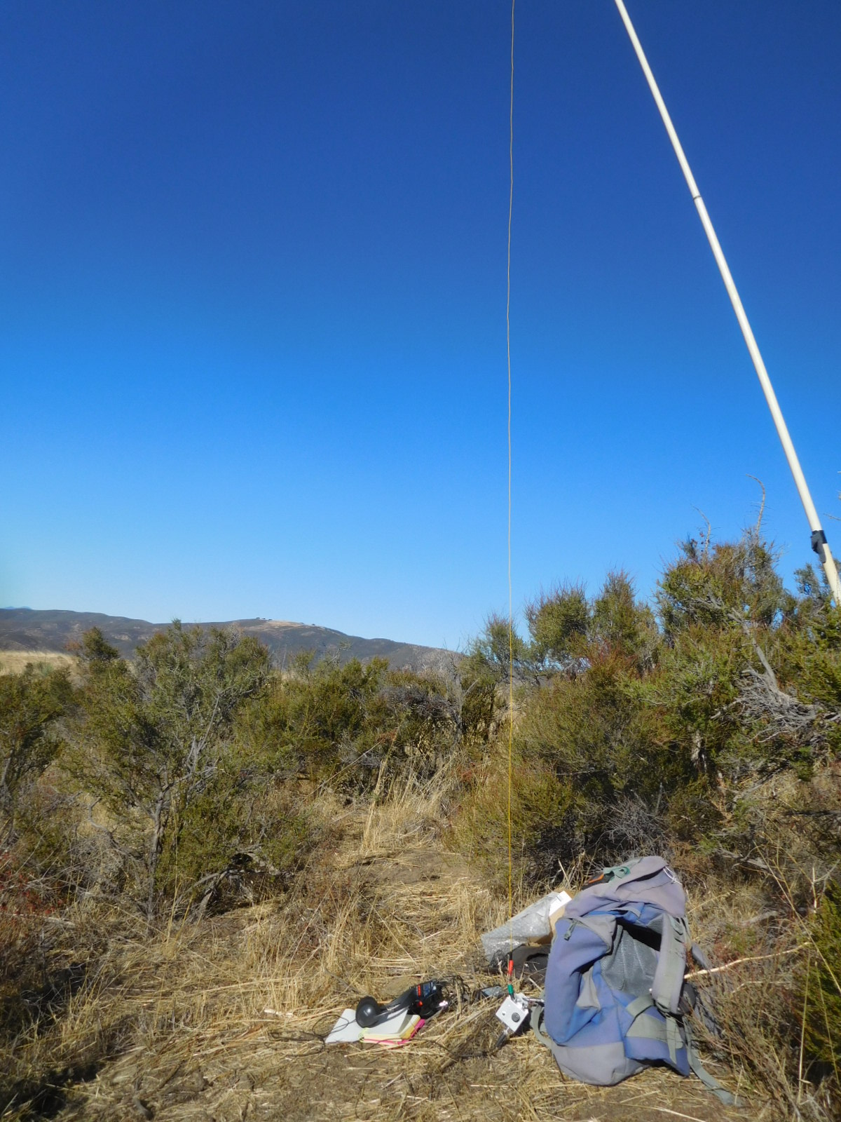
Took something like an hour and 20 or 30 minutes to get to the top (1200 feet elevation gain in about 2.5 miles). It was very windy but set up the mast and station in some good shelter behind some small desert Junipers. But it took longer to manage to tie down the other end of the wire in the wind. First I listened on 20m but it was way too busy because of the CQWW DX contest. So I went back to my original plan of using the contest-free 30m band after a struggle extending my extension wire for 30m to the EFHW.
After calling CQ a few times, the RBN must have spotted me and K8TE called me. It was nice to make 11 QSOs what with the contest blocking 20m and my difficulties with the wind.
Date:29/11/2020 | Summit:W6/CT-165 (3853) | Call Used:N6JZT | Points: 2 | Bonus: 0 |
| Time | Callsign | Band | Mode | Notes |
|---|---|---|---|---|
| 17:10 | K8TE | 10MHz | CW | |
| 17:11 | W7RV | 10MHz | CW | |
| 17:12 | N7IMI | 10MHz | CW | |
| 17:13 | WB7VTY | 10MHz | CW | |
| 17:14 | K7SO | 10MHz | CW | |
| 17:15 | N6PKT | 10MHz | CW | |
| 17:17 | N7MQ | 10MHz | CW | |
| 17:19 | KG7CW | 10MHz | CW | |
| 17:21 | W7JKC | 10MHz | CW | |
| 17:25 | N0IPA | 10MHz | CW | |
| 17:26 | W6STR | 10MHz | CW |
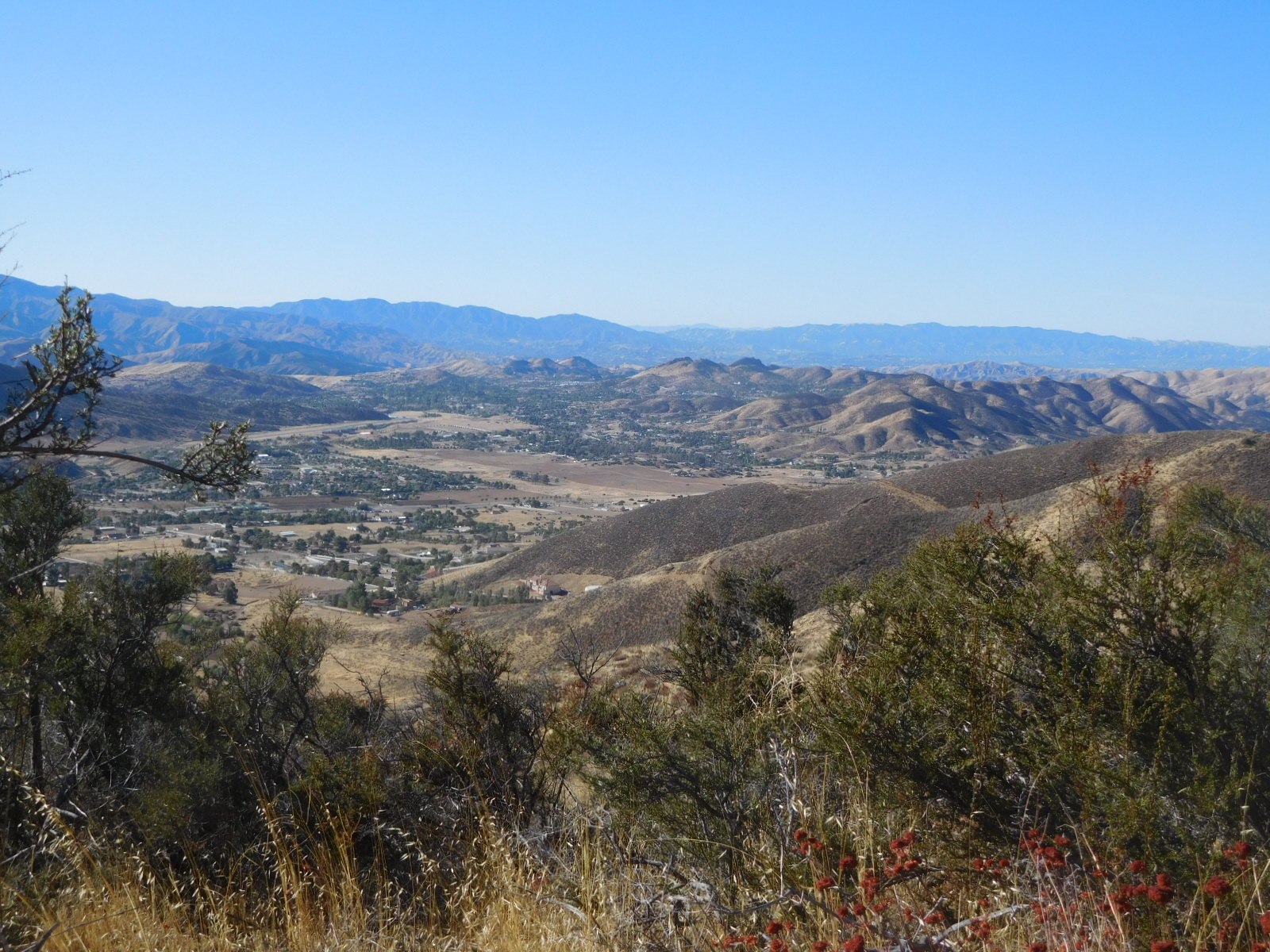
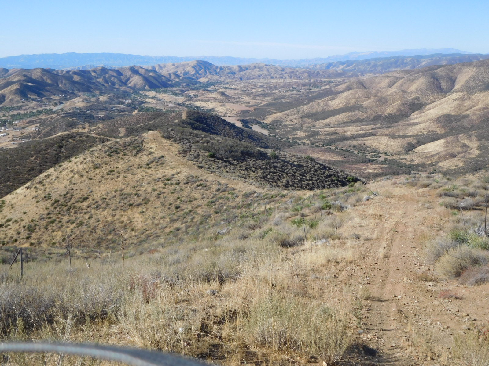
View of Mt McDill to the north, CT-118. Some activators have hiked it, but now I think most drive up like I did, after I found the correct way through the maze of roads leading to the park entrance.

I think this area to the south is called White Heather, may be part of the town of Agua Dulce.
After having some more water and eating a snack I headed down. Took about an hour to reach the car.
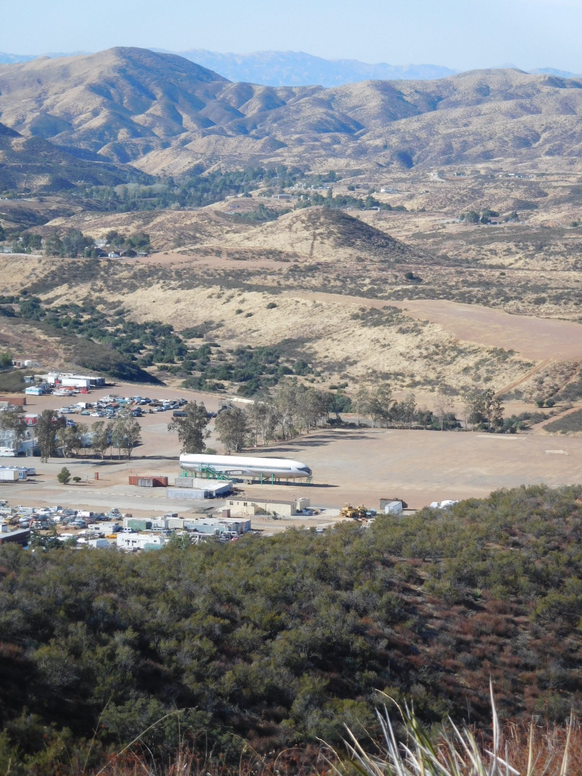
The Peterson Movie Ranch at the end of Peterson Road. They have part of an aircraft available for filming!
This was my 102nd unique SOTA summit. But two of these are, in my opinon, double counted in a sense since they got new reference designators when the summits were “shifted” due to better elevation information. Mt Williamson CT-011 became CT-247, and Verdugo Mountains (HP) CT-034 became CT-269. I have activated these summits at different times with all four references.
So I figure Peak 3853 is really my 100th unique SOTA summit!
73! Hal N6JZT
