A nice little hike up in the Santa Monica Mountains. This peak is listed as “Pt 2126”, it is the high point of Temescal Ridge and is also known as Temescal Peak. Up early and then drove towards Santa Monica, to Pacific Coast Highway, right on Sunset Blvd for half a mile, then left on Palisades Drive which eventually continues as Chastain Parkway. There are a few signs indicating “Topanga State Park Access”. Right on Las Palmas, driving through an area of ritzy houses. Then after two blocks there is a small parking lot (and good restrooms) on the left, trail starts on the right. The parking spot doesn’t say anything about a trailhead; I bet the housing developers had to put it in to comply with access requirements to the state park.
A good description of access and the hike is here:
http://www.hikespeak.com/trails/temescal-peak/
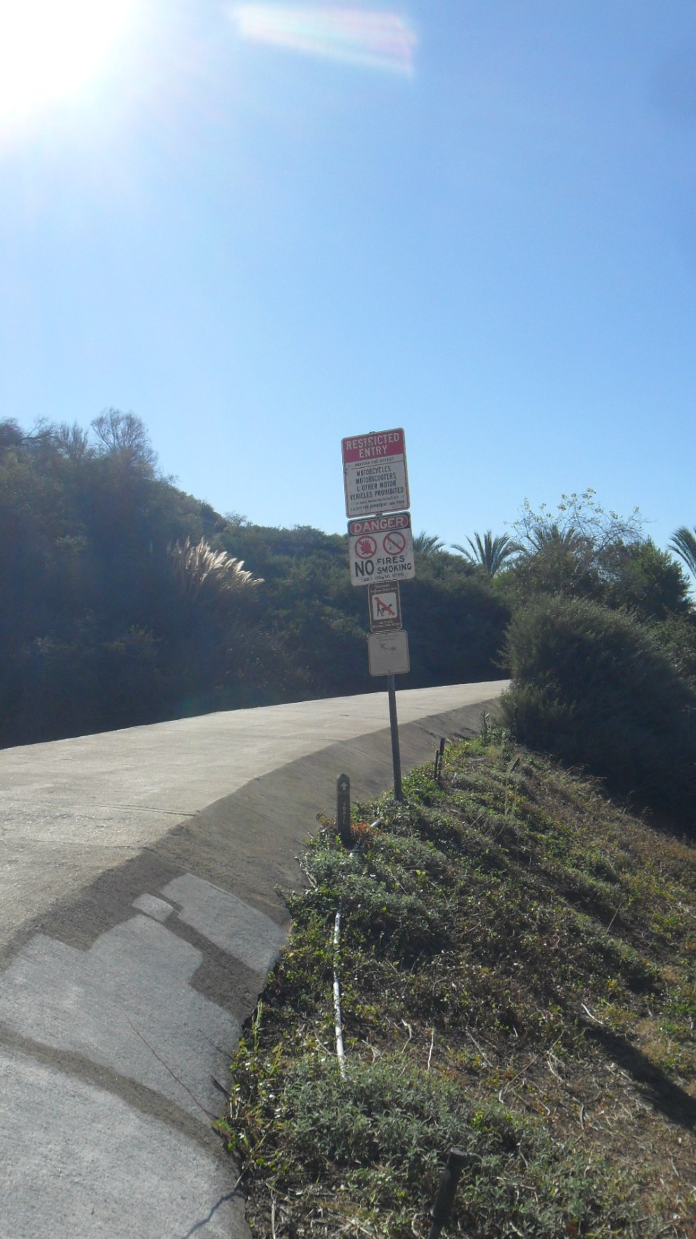
The trail starts as a concrete walkway to the right, after about 50 yards it heads to the left and switchbacks. At the end of the concrete is a dirt trail and a Topanga State Park sign, and Temescal Ridge is reached quickly
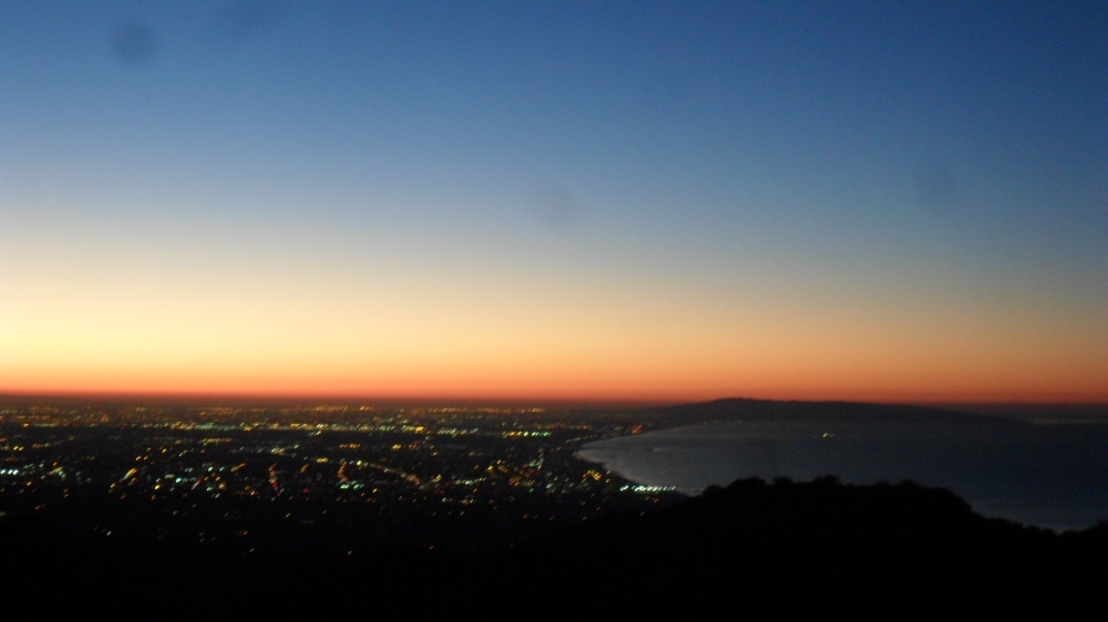
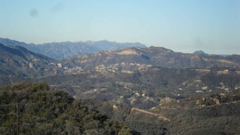
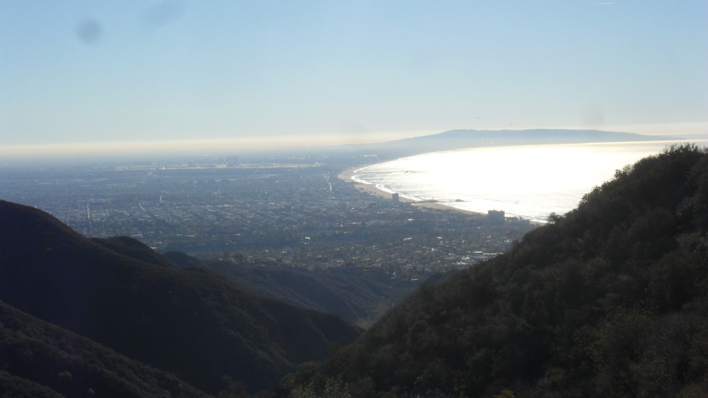
Very nice hiking at dawn, view down to Santa Monica and beyond
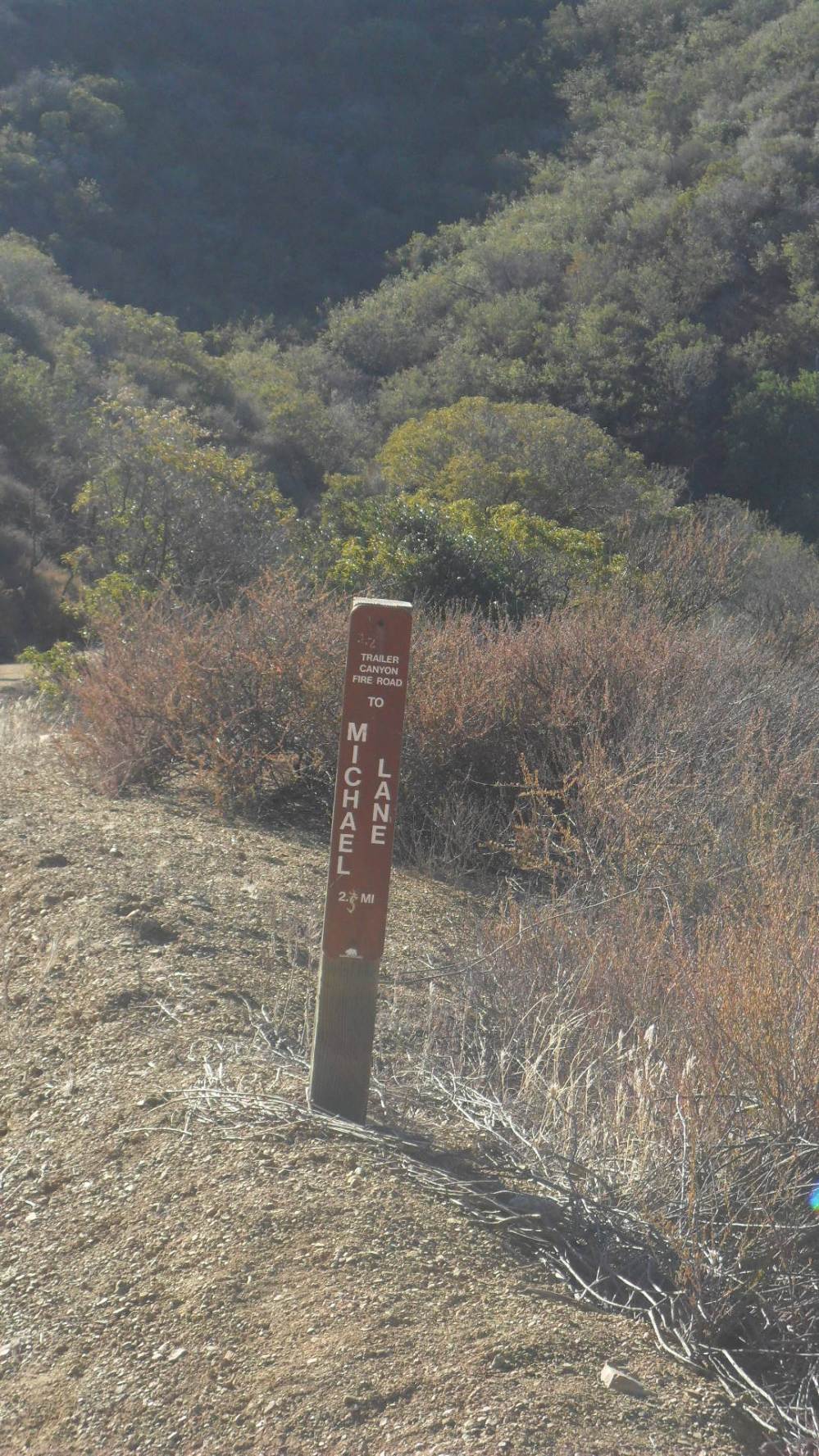
This is now the Temescal Ridge Trail, which eventually becomes a fire road at the intersection with Trailer Canyon Fire Road
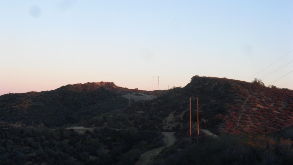
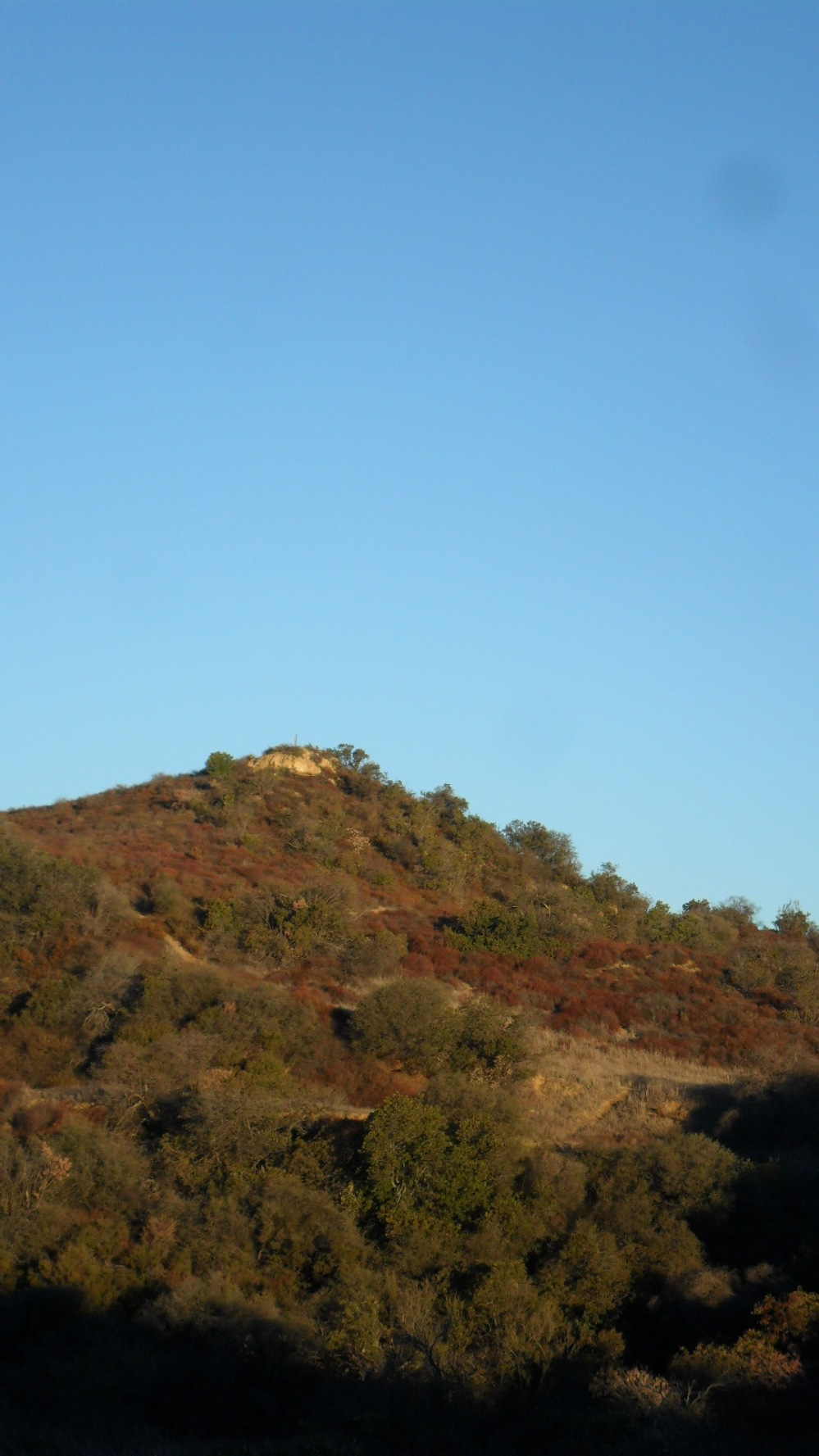
The trail is about 2.5 miles and 600 ft or so elevation gain to the top. Eventually the true summit comes into view, there are two posts on the summit, which you can see by enlarging the picture. Note the “cap like” structure of the summit, you leave the fire road and go up your choice of use trails. There is a benchmark “DIVIDE” at he top. Took me an hour and a quarter.
Set up for 2m, only Billy KM4PQS was on the calling frequency. He was getting his truck loaded in La Verne and then would be making a long run to South Carolina. He got his ham ticket a couple of weeks ago so he was pleased that someone was on frequency!
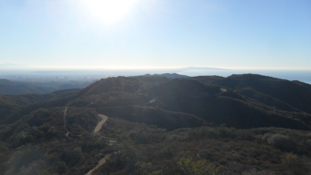
View back along Temescal Ridge
Called QRL? on 14.062, Scott KG3W was right there waiting for me! Worked HF, then back to 2m.
20m CW: KG3W W0MNA W0ERI VE7HI K4YA N4EX K8TE N7WM K4MF NG6R N7BHP KB2XX K4PIC W4DOW NE4TN WA2USA KX0R K0LAF KA5PVB WD9F NU7A W4KRN
30m CW: W7RV W6JMP KX0R AE7OV NS7V KH2TJ
2m FM: KM4PQS NK6A KR6RG N6HEG WA9STI KM6CEM
Sandstone Peak (W6 CC-056) in the distance
Then back down, here is the intersection with the Trailer Canyon Fire Road which gives a longer hike if you want to start from the Michael Lane access point
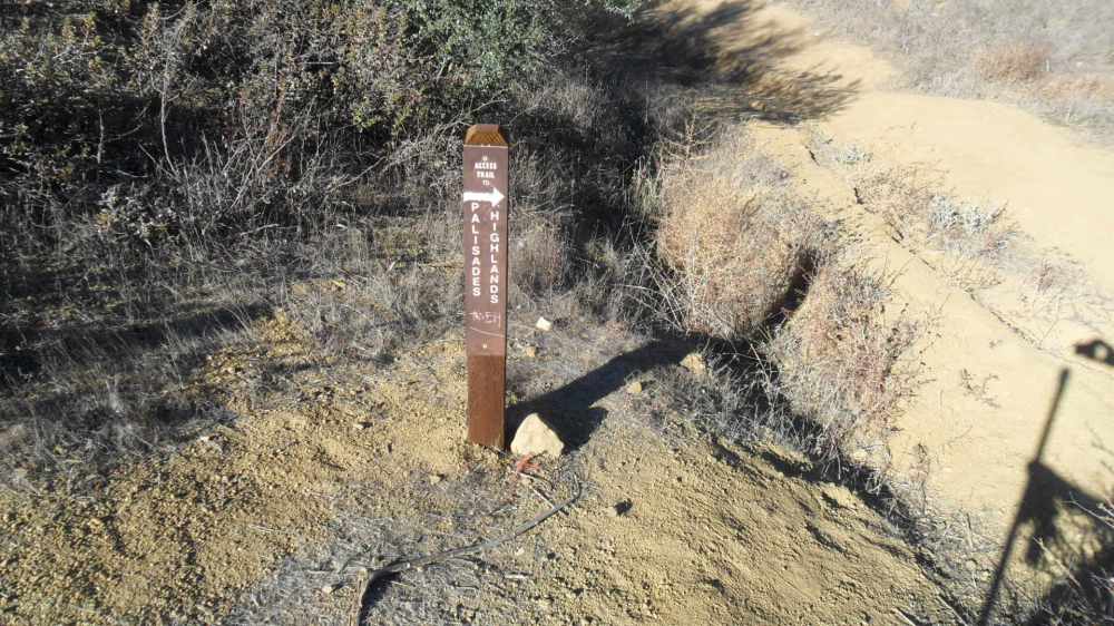
I continued on the “Sunset” route by continuing straight.
The trail will eventually take you all the way to Sunset Blvd through Temescal Gateway Park, but I turned right and back down to the Palisades
Parking lot and restrooms

Trail starts up this way
73!
Hal
N6JZT

Nice activation report Hal. I’m headed up there tomorrow from Cheney Road in Topanga. 73 de Eric, KG6MZS https://kg6mzs.com/